kohphiphi-live.com
Loh Dalum
Everyday & services

Tsunami Rescue Tower

Everyday & services · Loh Dalum · Koh Phi Phi

Evacuation tower near the eastern end of Loh Dalum beach, built after the 26 December 2004 tsunami that destroyed about 70 percent of the buildings on the isthmus. Blue tsunami evacuation signs throughout the village point to high ground.

Area
Loh Dalum, Koh Phi Phi
Category
Everyday & services
Coordinates
7.7432° N, 98.7746° E

Quick answers

What is Tsunami Rescue Tower?

Evacuation tower near the eastern end of Loh Dalum beach, built after the 26 December 2004 tsunami that destroyed about 70 percent of the buildings on the isthmus. Blue tsunami evacuation signs throughout the village point to high ground.

Where is Tsunami Rescue Tower on Koh Phi Phi?

Tsunami Rescue Tower is on the Loh Dalum side of Phi Phi Don, the north facing bay with the beach bars, two minutes on foot from Tonsai Village.

Does Tsunami Rescue Tower have its own website?

Not that we know of. This page on kohphiphi-live.com shows what Tsunami Rescue Tower is and where to find it.

Nearby

More on Koh Phi Phi: Everyday & services

On the map

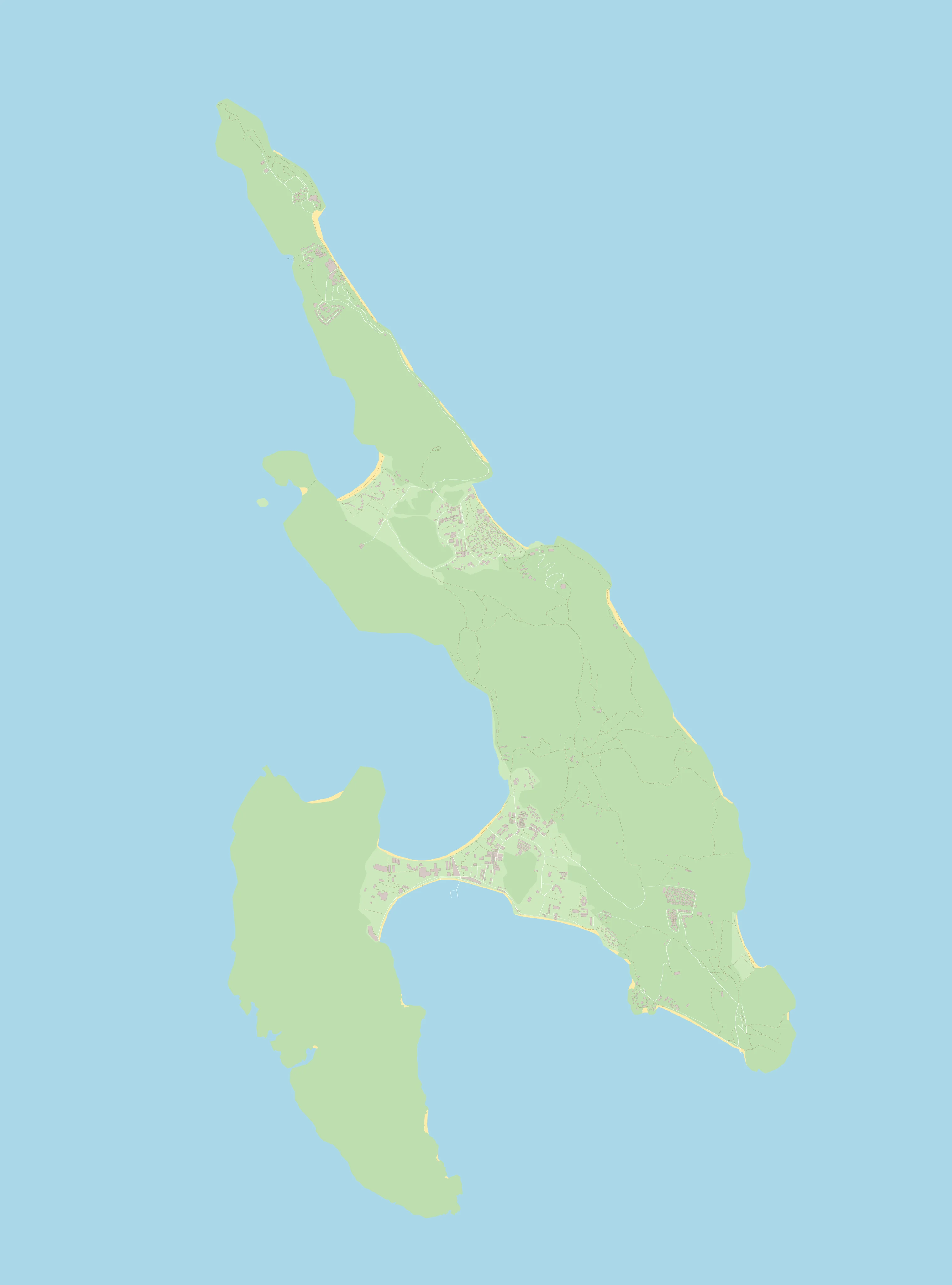
Show on the island map →OpenStreetMap contributors (ODbL)
← the island